Welcome to the Ouray Trail Group
Enjoy our trails • Leave no trace
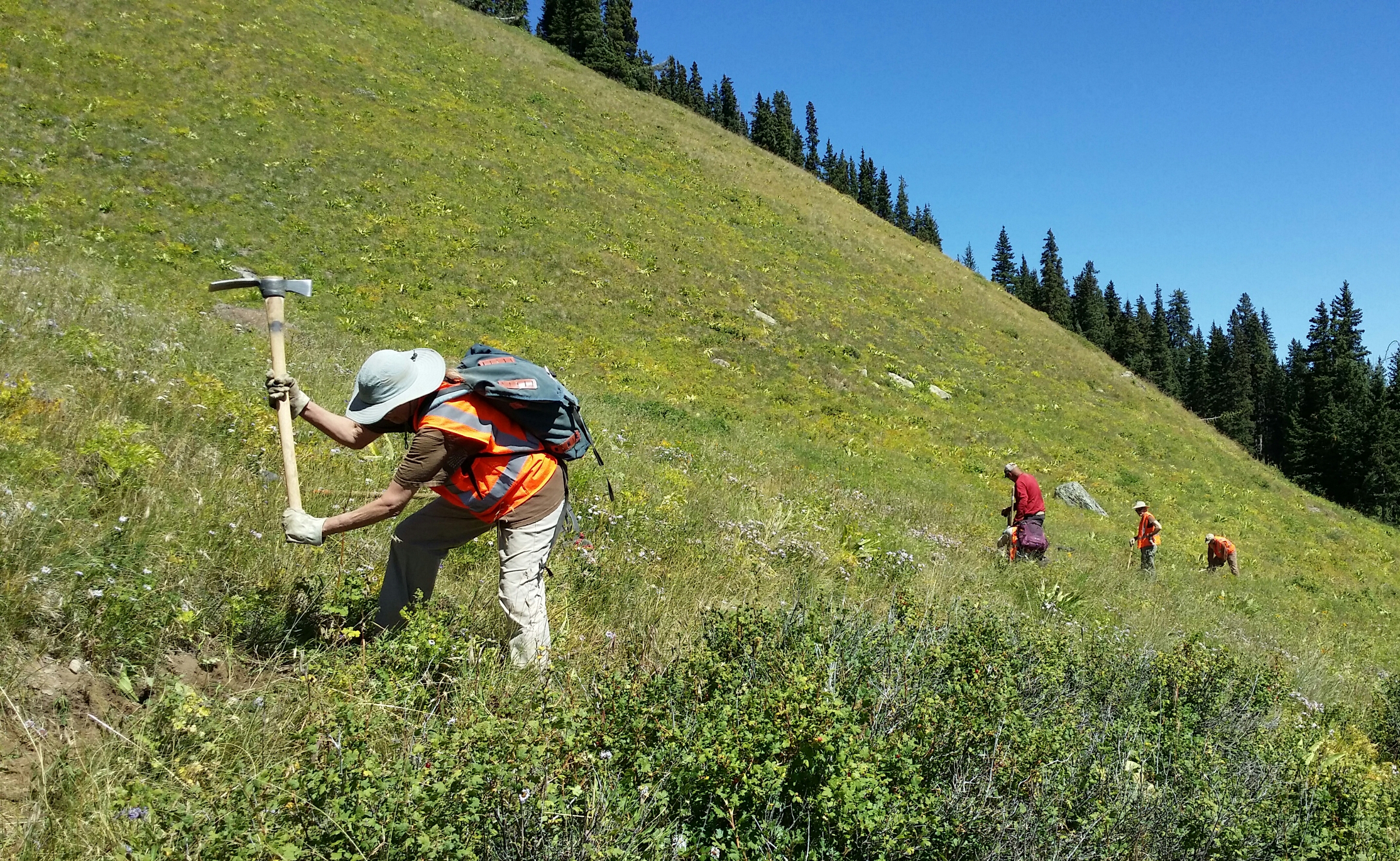
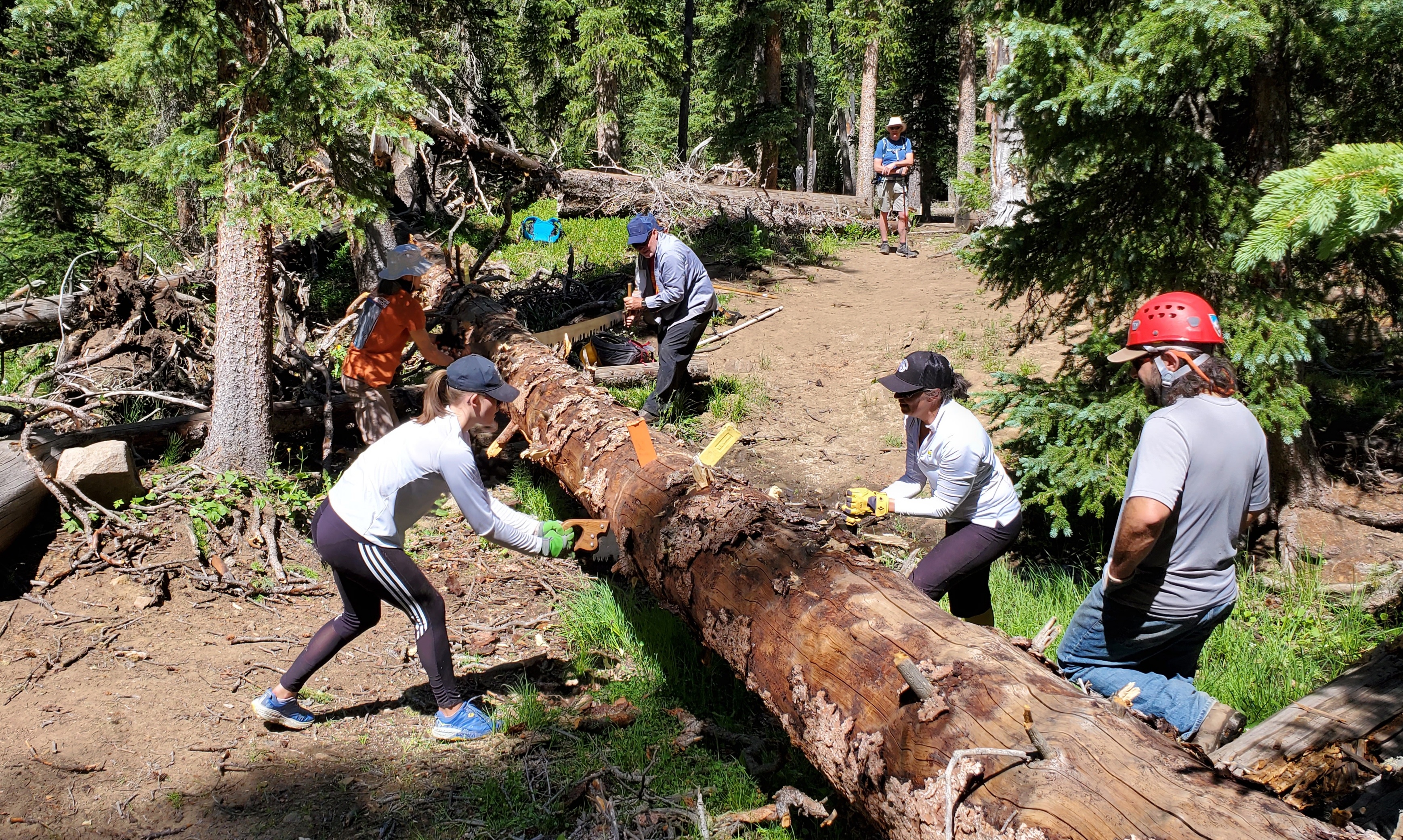
The Ouray Trail Group is a non-profit corporation of volunteers, founded in 1986, dedicated to the preservation and safe public use of Ouray area hiking trails. Our members take a stewardship role in protecting, preserving and maintaining the natural and recreational resources we all enjoy.
This site provides information about the Ouray Trail Group and the hiking trails we maintain in the Ouray area. Exploring this website will give the visitor a sense of the incredible scenery and history to be discovered along these trails. The Ouray Trail Group map and hiking guide, offered for sale here, provide an essential reference for hiking this rugged and complex terrain, and sales support OTG's trail maintenance and construction efforts.
Latest News!
New Perimeter Trail Trailhead Signs!

Membership Information
The membership of the Ouray Trail Group is voluntary, and new members are always welcome. To join OTG and be placed on an email list to receive notice of meeting dates, projects, and more, click below.