Online Shop
Click on items below to pay by PayPal or Credit Card
Returning customers may sign in.
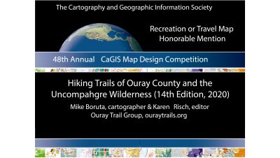
Congrats to Mike and Karen on their award winning map!

NEW! The 14th Edition of Hiking Trails of Ouray County and the Uncompahgre Wilderness map is now available for digital download on Avenza.
Click Here! 
Exciting New Product! The Ouray Perimeter Trail Map is available for only $4.99 on Avenza. This full color digital map includes the Perimeter Trail, Ouray city streets, a trail history and the trail guide to Ouray's most popular trail.
Click Here! 

Exciting New Product! The Ouray Perimeter Trail Map is available for only $4.99 on Avenza. This full color digital map includes the Perimeter Trail, Ouray city streets, a trail history and the trail guide to Ouray's most popular trail.
Click Here!

To Purchase Via Check
To order a Hiking Trails of Ouray County and the Uncompahgre Wilderness 14th Edition map or Hiking Ouray With Kids - And Everyone Else! 4th Edition book by mail, send a letter to "Ouray Trail Group, PO Box 50, Ouray CO 81427" requesting the map and/or book. Enclose $15.00 to cover the cost of the map, handling and mailing or $12.00 for the book. Both may be ordered for $25.00. Make your check out to: "Ouray Trail Group."
About the Map & Book
The First Edition of Hiking Trails of Ouray County showed 13 trails against a background of six USGS topographic maps and included descriptions and a unique table of difficulty, distance, elevation and time needed for the hikes. The 2020 14th Edition features 84 trails and an enlarged inset map of the Ouray area and the Ouray Perimeter Trail. A custom cartographic background for this new map was created by local cartographer Mike Boruta.
The map evolution reflects trail upgrades and their ongoing maintenance and is a tribute to OTG's long term efforts to restore lost historic trails and construct new ones where needed. The map now spans several counties and includes a larger inset map of hiking trails around Ouray and features trails in Mt. Sneffels and Uncompahgre Wildernesses, the Red Mountain/Ironton area, and north of Ouray and around Ridgway. Historic but unmaintained county trails are shown as well. A written guide to all the maintained trails and their locations, as well as an expanded table of distance, elevation, difficulty and time still offers essential details for hikers.
In 2007, OTG also published the first of four editions of a small guidebook to trails suitable for young families and those looking for a gentler hiking experience. The book describes 13 short, mostly gentle trails that begin in and around the City of Ouray. It showcases waterfalls, streams, canyons and other features of interest to hikers of all ages.
